문제
Problem
위성영상 변화 분석은 모델 결과가 있어도 사람이 위치를 다시
확인하기 어렵습니다. 특히 "왼쪽 상단" 같은 표현은 분석가가 실제
영상과 리포트 문장을 매칭하기에 충분하지 않습니다.
Satellite change analysis often produces model outputs that remain
hard for humans to verify. Phrases like "upper left" are not
precise enough for analysts to map report text back to imagery.
설계
Design
-
영상 크기와 종횡비에 맞춰 임시 격자를 생성하고 x축 문자, y축
숫자로 위치를 표현했습니다.
-
Generated temporary grids based on image size and aspect ratio,
using letters and numbers as shared location references.
-
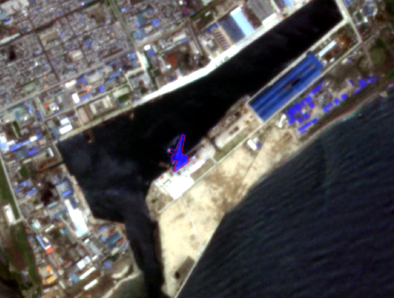
선박, 차량, 건물 등 CV 탐지/세그멘테이션 결과를 구조화해 LLM
컨텍스트로 주입했습니다.
-
Structured CV detection and segmentation outputs for ships,
vehicles, and buildings as LLM context.
-
리포트 문장에 관측, 추론, 불확실성, 신뢰도, 격자 셀을 함께
남기도록 출력 규칙을 만들었습니다.
-
Required report statements to include observations, inference,
uncertainty, confidence, and grid-cell references.
기여
Contribution
이미지 전처리, CV 결과 구조화, 격자 기반 시각 증거 레이어,
멀티모달 프롬프트 컨텍스트, 리포트 산출 규칙을 하나의 실행
흐름으로 묶었습니다.
Connected image preprocessing, structured CV outputs, grid-based
visual evidence, multimodal prompt context, and report-generation
rules into one executable workflow.